|
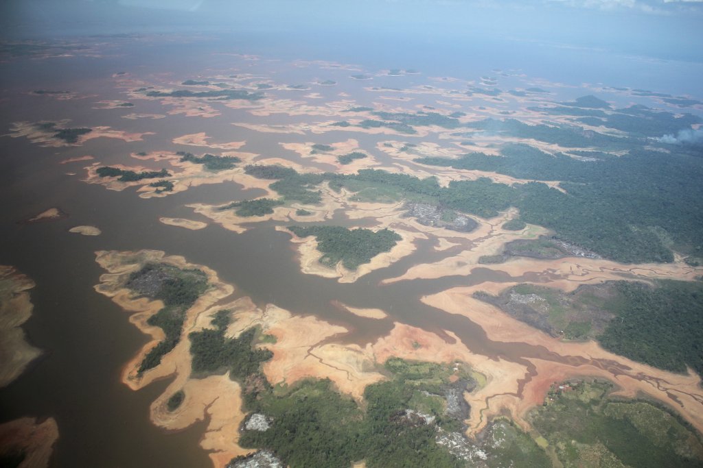 |
| Embalse de Guri | |
| Latitude: N 6°59'50,31" | Longitude: W 63°8'1,42" | Altitude: 1439 metres | Location: Piloncito | State/Province: Estado Bolívar | Country: Venezuela | Copyright: Ron Harkink | See map | |
| Total images: 70 | Help | |
|
|
|
| Embalse de Guri | |
| Latitude: N 6°59'50,31" | Longitude: W 63°8'1,42" | Altitude: 1439 metres | Location: Piloncito | State/Province: Estado Bolívar | Country: Venezuela | Copyright: Ron Harkink | See map | |
| Total images: 70 | Help | |